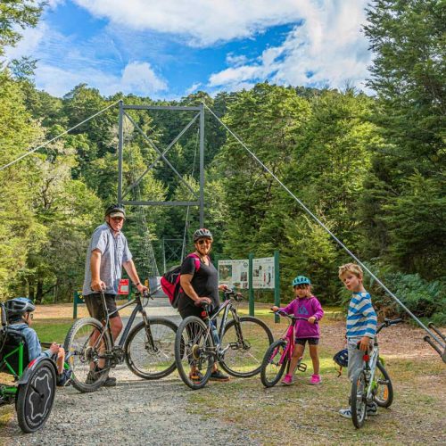
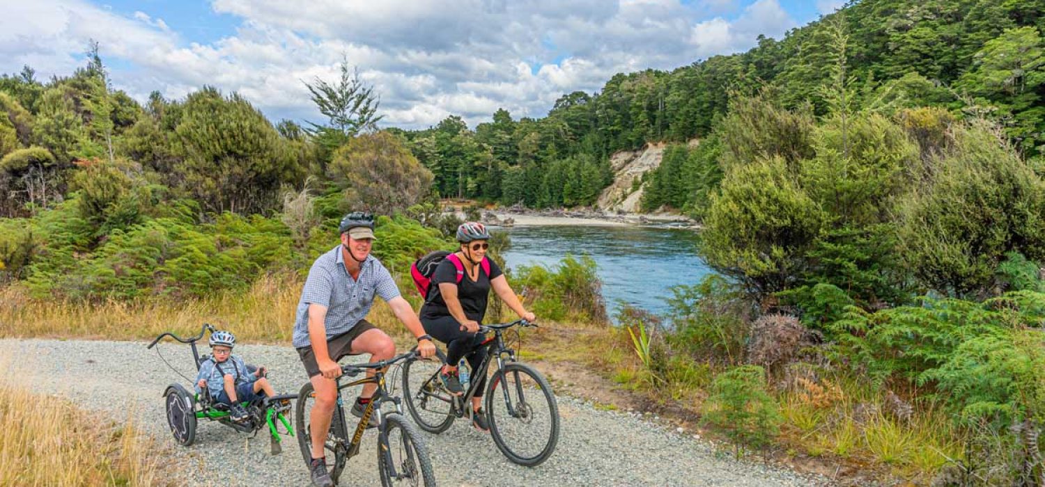
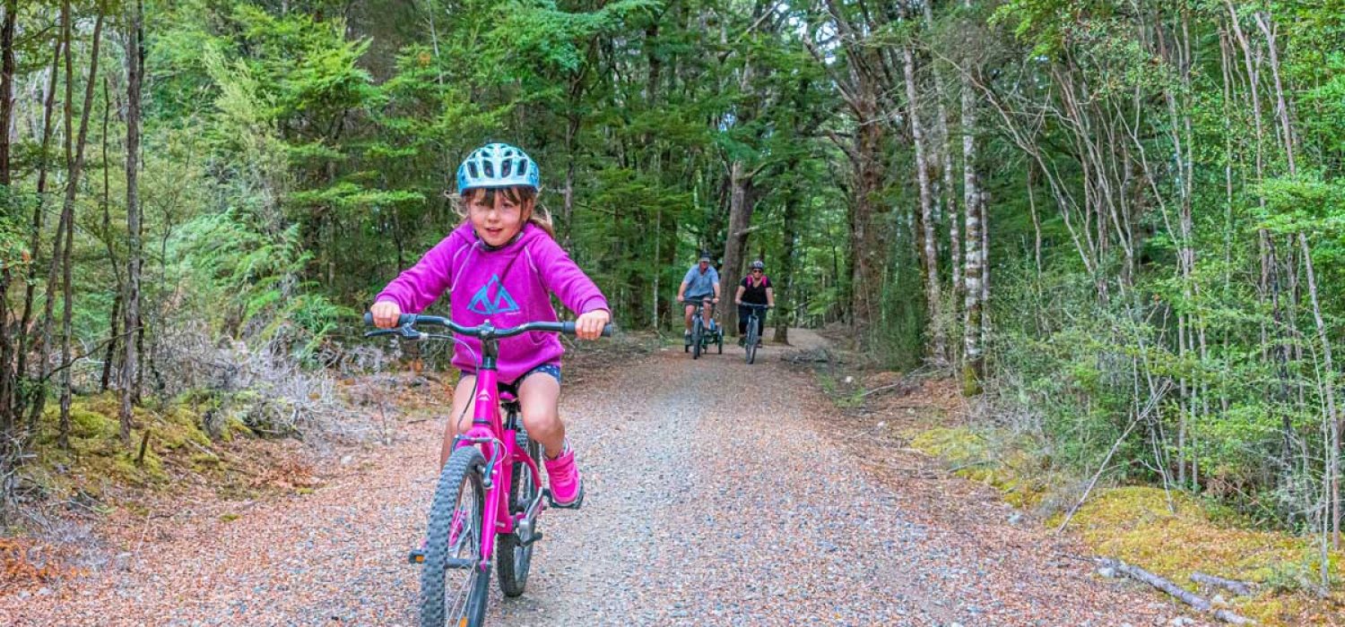
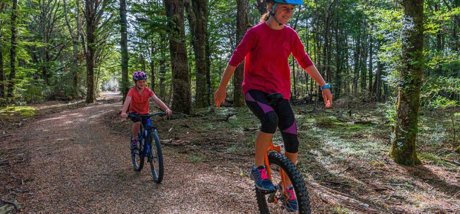
Enjoy spectacular scenery in the heart of Fiordland, with lake, riverside and mountain views, native bush, wetlands and farmland scenery. All of this and more from a wide, well-maintained, gravelled trail suitable for all ages and abilities.
The Lake2Lake trail offers a unique experience, making its way alongside the stunning Lake Te Anau and the East side of the Waiau River towards Lake Manapouri.
The trail can be used in both directions or you can make a loop to suit your ability. A 41km loop can be made by returning on Golf Course Road or the Te Anau-Manapouri Highway, and there are plenty of options to create shorter trips.
With incredible views, a quality Grade 2 trail, undulations to keep it interesting, and plenty of rest stops to admire the scenery, the Lake2Lake trail offers a unique experience to take in the breathtaking natural beauty within Fiordland on bike or on foot.
It is recommended to use lights on your bike if you are riding during dusk, dawn, or any time where visibility is low, including on cloudy days, and especially at night
Leg 1
DOC Visitor Centre to the Lake Te Anau Control Gates
The trail begins at the Department Of Conservation visitor centre and heads along Lake Te Anau to the control gates at the start of the Waiau River, a stretch of 4km. The control gates are the entry to Fiordland National Park and the Kids Restore the Kepler Project. This section offers magnificent vistas over Lake Te Anau to the Fiordland mountains, has several rest areas and is well away from any road.
Leg 2
Lake Te Anau Control Gates to the Queens Reach
This leg travels 6.4km along the upper Waiau River from the Te Anau control gates to Queens Reach, a popular access point to the Waiau River. There is a narrower section of the trail in the bush area, to keep the trail off the road in this section, please be aware of oncoming trail users
Leg 3
Queens Reach to Rainbow Reach
Continue another 6.4km from Queens Reach to the Rainbow Reach car park. This link enables runners or walkers to loop back to the control gates by crossing the swing bridge and heading back along the Kepler Track. There is a narrower section of the trail in the bush area, to keep the trail off the road in this section, please be aware of oncoming trail users
Leg 4
Rainbow Reach to Balloon Loop
Continue along the Waiau River to Balloon Loop Road providing another vehicle access point to the trail or return loop option for cyclists. It is 2km.
Leg 5
Ballon Loop to Supply Bay Road
Currently awaiting approval from the Department of Conservation for construction. Currently users have to ride along the Te Anau-Manapouri Highway for approximately 4km.
Leg 6
Supply Bay Road to Manapouri
It is 4.7 km between Supply Bay Road and Manapouri, giving views over Lake Manapouri to its many islands and mountains beyond.
Overall the trail offers a natural, highly scenic and safe recreational experience that caters for a wide range of users. The trail is built to grade 2 i.e. “easy” by NZ Cycle Trail standards (0-3.5% gradient for 95% of length; 2.2m wide etc.)
A 41km loop can be created up Mt York Road and along Ramparts Road, past the lookout, returning to town via the Te Anau-Mossburn Highway.



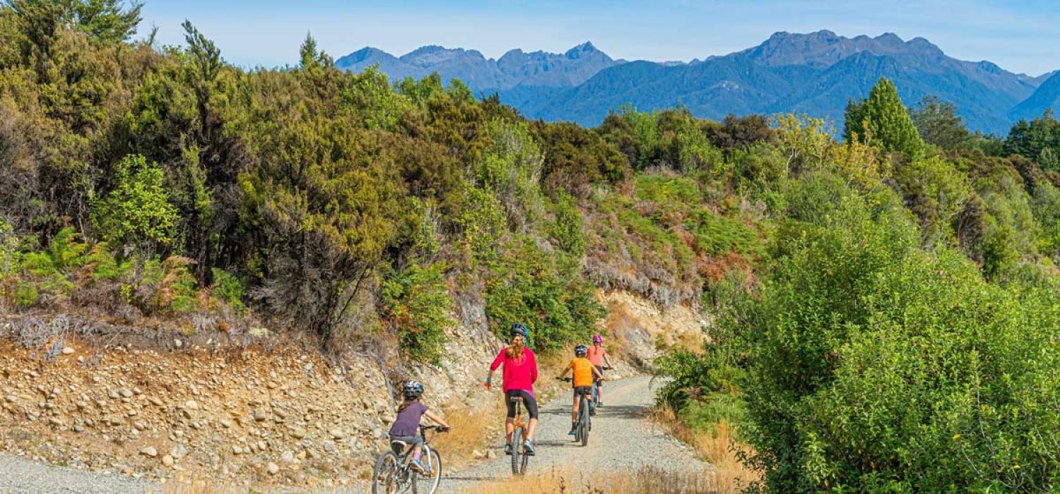

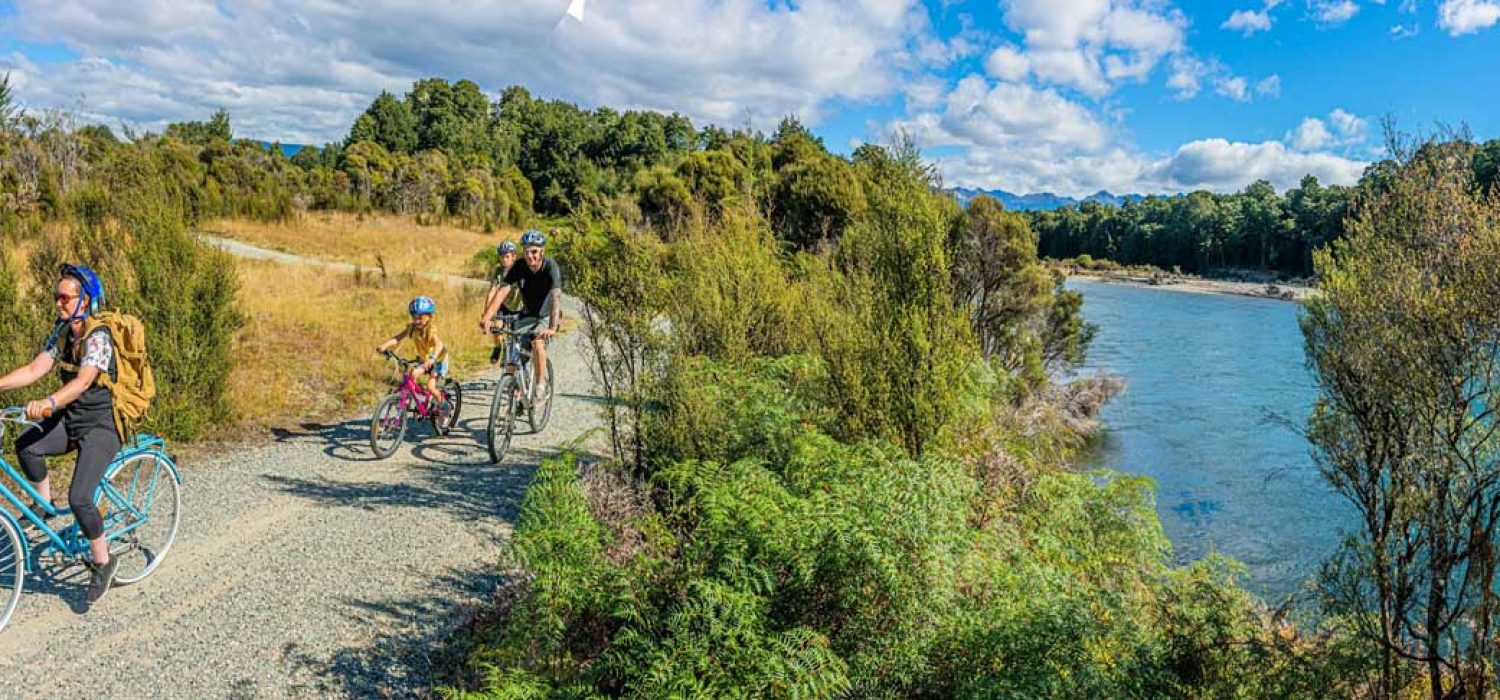
There are several points at which you can get on to the trail. The most popular spots to start your trip are:
All of which have parking and toilets.
Suitable clothing
Day pack with water and snacks
Insect repellent
Sunscreen
Phone and camera
If you are biking we recommend you bring a bike repair kit / spare tyre
Meet the Takahe at the Te Anau Bird Sanctuary.
Check out the power of the mighty Waiau River at the Te Anau control gates
Step onto the Kepler track – one of NZ’s favourite Great Walks at Rainbow Reach (no bikes allowed on the Kepler track itself)

